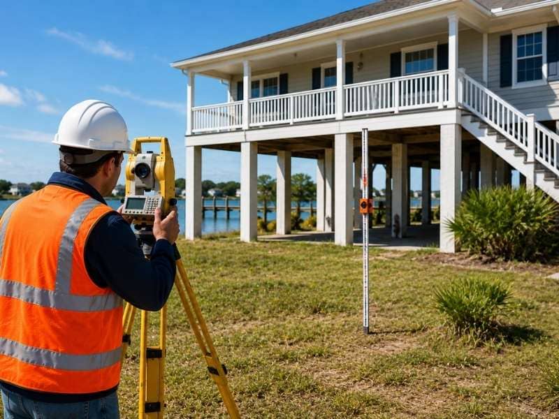
Approved plans look perfect on paper. The real test comes when crews build it on raw dirt, with no grid lines to follow. A construction staking survey bridges that gap. A licensed surveyor places marked stakes across the site to show where each part of the project goes. Without those marks, builders would be guessing, and guesses get expensive once concrete sets.
Most people picture staking as one quick step. The real work runs deeper. These five parts decide whether a build lands where it should.
Gather the Right Documents Before Staking Begins
Staking can’t start with a bare site and good intentions. A surveyor needs the approved plans first, since they hold the exact coordinates for every structure, road and pipe. They also pull the recorded plat, grading plan and any permits for the work.
These documents have to be the final, approved versions. If a crew stakes from an old draft, every mark could land in the wrong spot. So a careful surveyor checks the revision dates and confirms nothing changed before heading out.
Site readiness counts too. Staking works best after the land is cleared and rough graded, so marks sit in stable ground. The surveyor times the work with the crew so the ground is ready first.
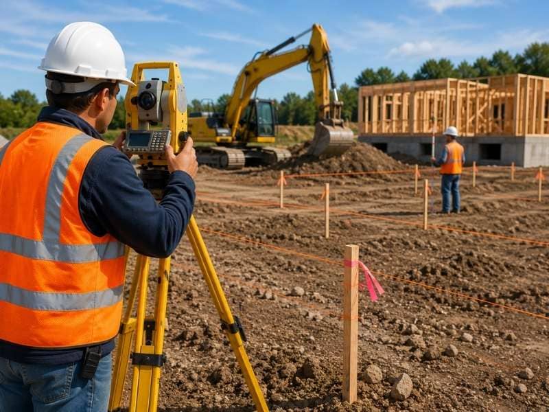
Know Who Reads the Stakes on Site
Many workers depend on those stakes, and each reads them in their own way. The excavator operator uses cut and fill marks to know how deep to dig or how high to build up the ground. The concrete crew uses corner and offset stakes to set forms in the building’s footprint.
Utility installers follow their own marks for water lines, sewer pipes and electrical runs. A stake there isn’t only a location. It often carries a depth note too, so the pipe sits at the right slope.
Inspectors check the stakes against the plans as work moves along. When a stake and the plan agree, the project keeps moving. When they don’t, the inspector can pause work until someone fixes the gap.
Plan for Weather and Ground That Move the Marks
Stakes live outside in the weather, and the ground they sit in doesn’t always stay put. Heavy rain can wash out the soil around a stake or float it loose in clay. Frost in cold months can push stakes up and out of true, which throws off their readings.
Soft or sandy ground brings its own trouble. A stake that looked solid Monday can lean or sink by Friday after equipment rolls past. Loose fill that hasn’t settled can shift under a stake and move it just enough to matter.
So surveyors often return to reset marks during a long job. A quick re-stake costs far less than a foundation poured off line. Smart crews treat stakes as live points that need a check after big storms or heavy earthwork.
See How Utility Staking Differs from Building Staking
Staking a building and staking underground utilities aren’t the same job. Building stakes mostly deal with the footprint and finished floor height. The marks show where walls meet the ground and how high the slab should sit.
Utility staking adds a layer buildings don’t stress as much: depth and slope. A sewer line has to drop at a steady grade so gravity keeps the flow moving. The surveyor marks the pipe path and depth at each point, so the installer holds the right fall end to end.
The order of work matters too. Crews usually stake and install underground utilities before the building goes up, since digging for pipes after the slab is poured creates a mess. Getting the utility layout right early keeps the build from hitting buried surprises.
Connect Staking to the Final As-Built Survey
Staking and the as-built survey sit at opposite ends of the same project. Staking happens first and shows where things should go. The as-built survey happens last and records where things actually landed.
When the staking is done well, the two should match closely. The surveyor returns after key parts are built and measures their real positions. Then they check those numbers against the plan to confirm the work followed the design.
This final check protects everyone. Lenders, officials and future owners often want proof the structure sits where the plans promised. A clean as-built survey, backed by accurate staking from day one, gives them that proof.
Frequently Asked Questions
Can construction staking be used for small projects?
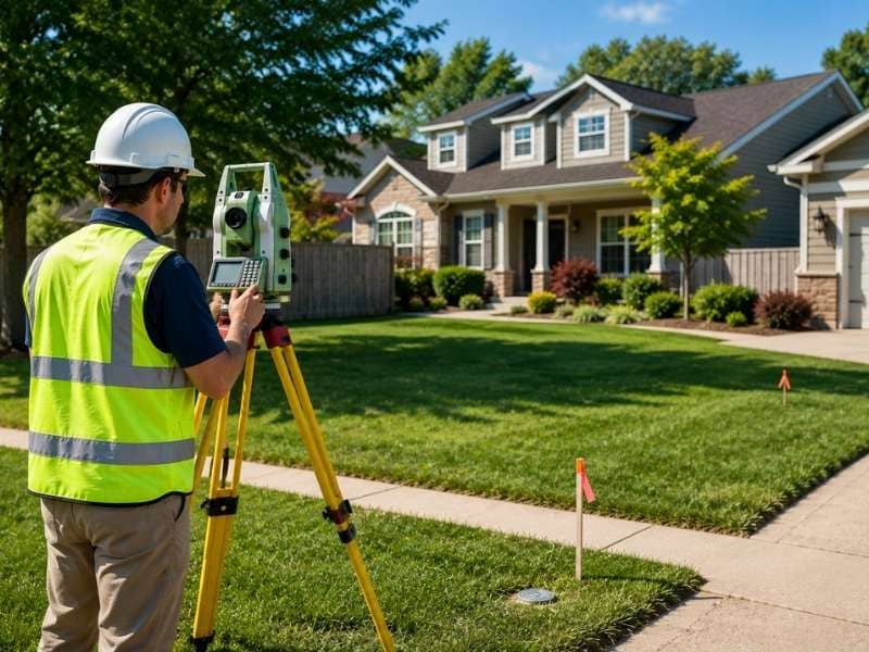
Yes, even a single home, garage or fence line can benefit from staking. The scale is smaller, so the job takes less time, but the goal stays the same. Accurate marks keep the build in the legal spot and off the neighbor’s land.
Can staking start before the design is fully approved?
It shouldn’t, since stakes set from a draft can send the whole build off course. A surveyor wants the final, approved drawings with current revision dates. Working from an older set risks marks that don’t match what the permit office approved.
Do crews need a surveyor on site to follow the stakes?
Not for daily work, because the stakes carry the information crews need to keep building. A surveyor usually returns only to reset disturbed marks or stake the next phase. Day to day, the trades read the stakes on their own.
How is staking for underground utilities different from staking for a building?
Utility stakes deal mostly with how deep a pipe sits and the angle it follows underground. Gravity has to move the flow, so a steady grade matters more than for a wall. Building stakes, by contrast, center on the footprint and finished floor height.
What is the difference between construction staking and an as-built survey?
Staking comes first and marks where the project should be built. An as-built survey comes last and records where everything ended up. One guides the work, and the other proves the result matches the plan.