↓
 

Maxwell Land Surveying

Your First Choice for Surveying for Over 50 Years...

Maxwell Land Surveying
  • Home
  • ALTA Title Survey
  • Boundary Surveying
  • Civil Engineering
  • Construction Survey
  • Drone LiDAR Mapping
  • Flood Survey – Elevation Certificate
  • Land Surveying
  • Land Surveyor Services
  • Topographic Survey | Topo Survey
  • Blog
  • Contact Us
Home 1 2 3 … 8 9 >>

Post navigation

← Older posts

Welcome! Let us know how we can serve you!

Maxwell Land Surveying Posted on June 24, 2010 by adminJanuary 2, 2018

Here are some reasons you might need a Survey…

  • So that you can see exactly what you are buying or selling.
  • To determine if there are easement lines for utilities such as water, sewer, drainage ways, power lines, etc. on your property.
  • To know if there are any encroachments like driveways, fences or buildings on the property.
  • To know the exact property line measurements and the precise locations of all structures, fences, or driveways related to those property lines.
  • To determine if you are in a floodplain.
  • To be able to put up a fence on your property in the correct location.
  • To subdivide your property to divide it among family members.
  • To make sure the building you are constructing is on the lot, within the setback lines, and not encroaching on any easement lines.
  • To determine if your lot is usable for an onsite septic system. (While technically not a survey, these are commonly done by surveyors.)

Call Maxwell Land Surveying at (256) 854-9503 or fill out our contact form to discuss your land surveying needs.

Posted in blog, land surveying, land surveyor, Uncategorized | Tagged land surveying, lot survey, surveying, surveyor

Due Diligence Survey Checks Before You Buy Commercial Land

Maxwell Land Surveying Posted on July 17, 2026 by adminJuly 15, 2026
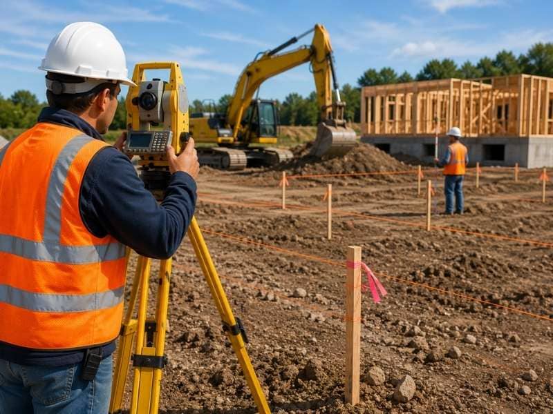
Licensed surveyor performing a due diligence survey before a buyer purchases commercial land.

A due diligence survey helps a buyer study commercial land before the sale is final. It brings hidden problems into the open, from boundary questions to access and site conditions. Learning about these issues early can protect both your money and your plans.

Buying land is a big commitment. Once the deal closes, the problems become yours to handle. This survey gives you a real chance to spot trouble while you still have room to act.

Reviewing Property Access Before Closing

Access can make or break a commercial site. A due diligence survey shows whether the land connects directly to a public road or leans on a private drive or shared entrance. It can also reveal a recorded easement that grants the right to pass through.

Confirming access before closing is a wise step. A site with no clear legal way in can be hard to finance or develop. Knowing the access situation early lets you plan around it or step back if the problem runs too deep.

Checking Boundary and Easement Issues Early

Boundaries and easements shape what you can do with land. This survey maps the property lines and marks any encroachments where structures cross them. It also shows rights-of-way and utility easements that other parties may hold.

Spotting these matters early gives you time to think things through. You can weigh how each restriction affects your plans before you own the land. That breathing room is one of the biggest benefits of surveying during the buying stage.

Identifying Existing Site Constraints

Every parcel comes with limits on how it can be used. A survey records visible features like drainage areas, utilities, fences and nearby development. These details show what already sits on and around the land.

Such constraints can affect your whole project. A drainage feature or a tight setback might shrink the space you can build on. Seeing these limits helps you judge whether the site can truly support the plan you have in mind before you commit.

Coordinating a Due Diligence Survey With Other Property Investigations

A survey is one piece of a much larger review. Its findings work best next to title research, zoning checks and environmental or geotechnical studies. Each report looks at the land from a different angle.

Reading them together builds a fuller picture of the risk. A boundary issue might connect to a title matter, or a soil report might explain a drainage feature. Combining the reports helps you weigh the real risks and rewards of the purchase.

Using Survey Findings During Purchase Negotiations

Survey results can be a strong tool at the bargaining table. If the work turns up an encroachment, an access limit or a boundary conflict, you have solid grounds to raise it. These facts carry more weight than a vague concern.

Buyers use such findings in several ways. You might ask the seller to fix a problem, adjust the price or change the contract terms. In serious cases, the findings may even lead you to rethink the whole deal.

Frequently Asked Questions

What does a due diligence survey include?

This survey can show property boundaries, visible structures, access points and easements. It may also mark rights-of-way and any encroachments. The exact scope shifts with the property, the deal and how the buyer plans to use the land.

Can a due diligence survey identify access problems?

Yes. It shows how the land ties into nearby roads and can flag shared entrances or recorded access easements. Title records and legal review may still be needed to confirm the full extent of those rights.

Should the survey be completed before the inspection period ends?

Whenever possible, yes. Finishing early gives you and your team time to study the findings before the review window closes. That timing leaves room to dig into any problem and use your options under the contract.

Can survey findings affect the purchase price?

They can. Access limits, encroachments, easements and boundary conflicts may change what the land is worth or how it can be used. Buyers often bring these findings to the table when talking price or asking for repairs.

Posted in alta survey | Tagged alta title survey

Residential Survey Tips Before Adding a New Structure

Maxwell Land Surveying Posted on July 16, 2026 by adminJuly 15, 2026
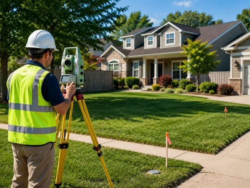
Licensed surveyor performing a residential survey before adding a new structure to verify property lines, setbacks, and existing site features.

A residential survey shows how your yard and home really sit on the lot. Before you add a garage, a pool, a shed or an extra room, that picture matters a lot. Accurate survey information lowers the chance of running into boundary, setback or permit trouble later on.

Many owners plan a new build using rough ideas of where their lines fall. Those guesses can lead to costly mistakes once the work starts. A fresh survey replaces the guessing with facts you can safely build on.

Planning a Residential Survey Before Finalizing Your Project

Timing makes a real difference with this kind of work. Order the survey before you lock in your design and building plans. Early data lets you shape the project around the true shape of your lot.

When the survey comes first, everyone works from the same solid facts. Your designer and builder can place the new structure with confidence instead of leaning on old records or rough sketches. That head start can save real money once construction finally begins.

Checking Property Lines Before Expanding Your Home

A clear view of your boundaries protects the whole project. A residential survey marks where your lines fall in relation to the new structure you have in mind. This shows how much room you truly have to work with.

Building too close to a line can cause serious problems. Your new addition might cross onto a neighbor’s land or sit nearer to the edge than the rules allow. Confirming the lines first helps you avoid disputes and expensive changes down the line.

Identifying Easements and Utility Conflicts Early

Not all of your land is free to build on. Recorded easements can give others the right to use part of your property, often for utilities or drainage. Visible features like power lines or pipes may hint at these limits too.

Finding these areas early keeps a project out of trouble. A structure placed over an easement can lead to removal orders or blocked access for utility crews. Knowing where these strips sit lets you plan around them from the start, before anything gets built.

Using Survey Information to Support Permit Applications

Most new structures need a permit before any work can begin. Survey drawings often play a key role in that process. They can show the existing property, the planned addition and the required distances from your lines.

Local building offices set their own rules for what they want to see. A good survey gives you a clear document to include with your paperwork. When you meet these requirements the first time, your application can move forward without extra delays.

Coordinating Your Residential Survey With Designers and Contractors

A survey works best when the whole team can see it. Sharing the finished drawing with your architect, engineer and contractor keeps everyone on the same page. They all build their part of the plan from one accurate source.

This teamwork supports better design and steadier pricing. When each person trusts the same site information, fewer errors slip through the cracks. The result is smoother planning and a layout that fits the property as it really is.

Frequently Asked Questions

Should I get a residential survey before building a garage?

Yes, a survey before a garage build is a smart move. It confirms your property lines, setbacks and how much space you have. The same drawing can guide the design and the layout during construction.

Can a residential survey help with setback requirements?

It can. The survey shows your property lines and where existing or planned structures sit. That lets your team measure the required distance from each boundary. The actual setback rules still need to be checked with the local authority.

Will an older survey work for a new addition?

An older survey can serve as a reference, but it may miss recent changes. New buildings, updated records or lost markers can make it out of date. A surveyor or local office may suggest fresh fieldwork before the addition moves ahead.

What improvements should appear on a residential survey?

Depending on the scope, a survey may show the house, sheds, fences, driveways, patios and pools. It can also include retaining walls and other visible features. Easements, lot dimensions and setback details often appear as well.

Posted in land surveying | Tagged land surveying

FEMA Elevation Certificate Tips Near Flood-Prone Lots

Maxwell Land Surveying Posted on July 15, 2026 by adminJuly 15, 2026
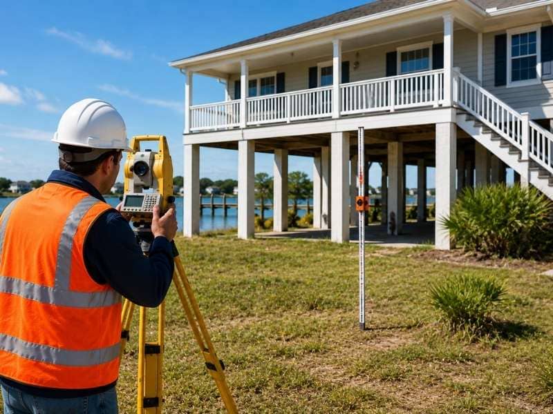
Licensed surveyor collecting measurements for a FEMA elevation certificate at a home near a flood-prone lot.

A FEMA elevation certificate ties a building’s height to the flood data that FEMA has mapped for its area. For homes on low or flood-prone ground, that link can shape some big decisions. Owners lean on it when they deal with flood insurance, loans, permits or questions about how risky a spot really is.

This form does much more than list a few numbers. It places one structure inside the official flood picture drawn for the wider area. Agencies, lenders and insurers all use that connection to weigh how a property might handle rising water.

Understanding Flood Maps Before Requesting a FEMA Elevation Certificate

FEMA creates flood maps that sort areas into different flood zones. These maps, called Flood Insurance Rate Maps, may also list a Base Flood Elevation for certain spots. That number marks how high water could rise during a serious flood.

Before ordering the certificate, it helps to look up your own map details. The panel number, the flood zone and the exact location all shape what the survey will need to show. When you know these facts early, the professional has a clear target from the very start.

Property Features That Can Affect Elevation Documentation

Not every building is measured the same way. The type of foundation makes a big difference, whether the home sits on a slab, a crawlspace or a basement. An attached garage or a set of flood openings can change the readings too.

The location of machines like air conditioners or water heaters also matters. So does the lowest floor that people actually use day to day. The surveyor records each of these parts by following the rules on the FEMA form, so the finished document reads correctly for everyone who checks it.

Common Reasons Insurers or Lenders Request Updated Information

Sometimes an older certificate is no longer enough. An insurer or lender may ask for fresh information when the current paper is missing details or looks out of date. A change to the building can trigger the same request.

New flood maps are another common reason. When FEMA updates the map for an area, the older readings may not match the current data. Each insurer and lender can set its own rules, so requests can differ quite a bit from one to the next.

Preparing Your Property Before the Survey Visit

A smooth visit depends on clear access. The surveyor has to reach every side of the building, along with spots like crawlspace openings and utility areas. Moving stored items and unlocking gates before the visit keeps the measuring on schedule.

Some paperwork rounds out the prep. Older certificates, permits and any flood map notes give the surveyor a useful base to work from. Handing these over at the start can trim the time spent hunting for small details.

Keeping Your FEMA Elevation Certificate for Future Property Decisions

After the certificate is finished, store it with care. Keep one copy on your computer and another on paper, so a lost file never sets you back. A document that is easy to find saves stress when a deadline suddenly appears.

This paper reaches well beyond insurance alone. It can support a permit, a mitigation plan or an application to update how your property is mapped. FEMA reviews any map-change request on its own, so the certificate acts as evidence rather than a promise.

Frequently Asked Questions

Does every property near a flood zone need a FEMA elevation certificate?

No. Sitting close to a mapped flood zone does not force every owner to get one. The need depends on the mapped location, local permit rules, insurance terms and the reason the height data is being reviewed.

Can an older FEMA elevation certificate still be used?

It can, when the building and the land around it have stayed the same and the paper still holds the needed details. A lender, insurer or local official may still call for a new one if the form is outdated or the flood map has changed.

Will a FEMA elevation certificate change my flood zone?

No, not by itself. The certificate provides height data, yet it does not move a property into a new zone. That data can support a separate FEMA map-change request, which FEMA must review and approve before any official change.

Can a FEMA elevation certificate lower flood insurance costs?

It might help by giving an insurer a more exact view of a building’s height and features. Even so, it carries no promise of a lower bill. Premiums also rest on flood risk, coverage choices, deductibles and the rating rules in place.

Posted in flood elevation | Tagged flood elevation

Post navigation

← Older posts
Get Quote Button

Recent Posts

  • Due Diligence Survey Checks Before You Buy Commercial Land
  • Residential Survey Tips Before Adding a New Structure
  • FEMA Elevation Certificate Tips Near Flood-Prone Lots
  • Drone Surveying for Safer Land Clearing Plans
  • Loan Closing Survey Issues That Can Slow a Purchase
© Maxwell Land Surveying
Munford, AL
Phone: 256-854-9503

Web Development and SEO by:
auburnbusiness.com


Privacy Policy | Terms of Use

The owner of this website, USA Surveying & Engineering, LLC., provides coordination of professional land surveying and engineering services in all 50 states. The professional surveying and engineering services provided to you will be conducted by fully licensed professionals in your state.

&nbsp
↑