
Wooded Property Surveys Before Land Clearing Begins
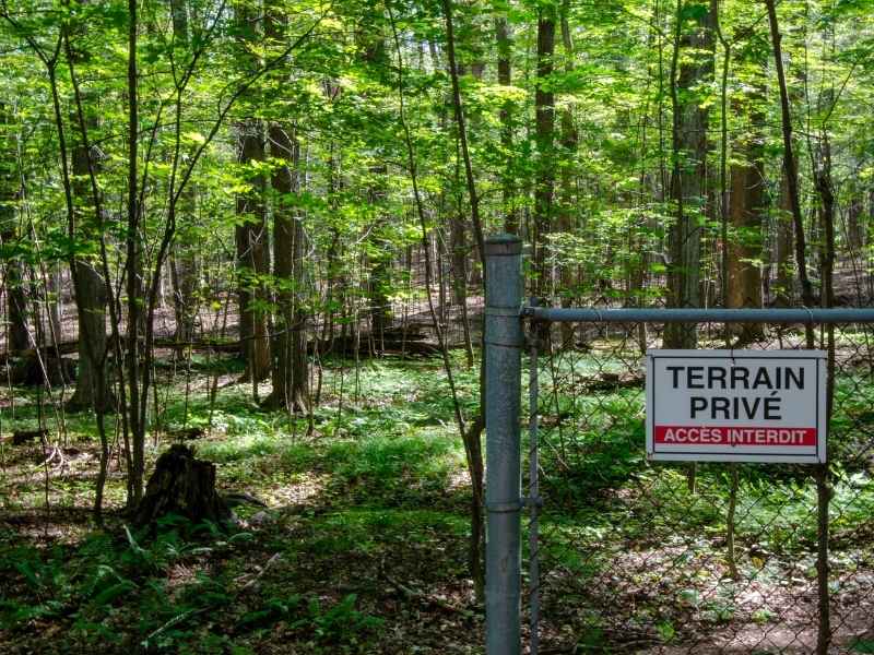
Thick trees can hide a lot of problems on a piece of land. A boundary line, an old easement, or a steep drop in terrain can sit unseen under years of brush and canopy. Once heavy equipment shows up to clear a wooded lot, those hidden problems can turn into expensive mistakes fast.
A survey done before clearing solves this. Land surveying work together to map what is actually on a wooded site, even in spots a crew cannot easily walk. This gives property owners and contractors a clear picture before the first tree comes down.
This article covers what a wooded property should confirm before land clearing starts, and why each step matters for a smooth, safe project.
Confirm Property Limits Before Clearing Wooded Areas
The first step before clearing any wooded lot is confirming the real property boundary. Trees, brush, and old fence lines can create a false sense of where a property actually ends, especially on land that has not been surveyed in years.
Clearing past a property line can lead to real trouble. Removing trees on a neighbor’s land, even by accident, can create legal disputes that cost far more than the clearing work itself.
This step typically confirms:
- Property corners and boundary lines based on recorded plats
- Any gap between old fence lines and the actual legal boundary
- Areas where neighboring property may overlap or encroach
- Boundary points that need to be marked clearly before clearing starts
Land surveying help here by mapping large wooded areas quickly, then pairing that data with ground checks at key boundary points. This combination speeds up the process without losing accuracy.
Locate Easements and Access Areas Hidden by Vegetation
Wooded lots often have easements that are easy to forget about once trees and brush take over. Utility easements, access easements, and drainage easements can all run through a heavily wooded section of a property without any visible sign on the ground.
Clearing through an easement without checking it first can create conflicts with utility companies or neighboring property owners who rely on that access.
A survey should confirm:
- Recorded easements that cross the wooded portion of the property
- Whether existing vegetation is hiding utility lines or access paths tied to an easement
- Any conflicts between planned clearing areas and easement locations
- Access points that need to stay clear for utility or emergency use
Drone imagery is useful here because it can reveal terrain patterns and cleared paths under partial canopy that are hard to spot from the ground alone.
Map Terrain Changes That Affect Clearing and Grading
Wooded land often hides real changes in terrain. A slope that looks gentle from a distance can turn out steep once trees are gone, and a low spot that never held water under a forest canopy can start collecting runoff after clearing changes how rain moves across the site.
Mapping terrain before clearing gives a project team the chance to plan around these changes instead of discovering them after equipment is already on site.
This mapping should capture:
- Existing slopes and elevation changes across the wooded area
- Low points or natural drainage paths currently hidden by vegetation
- Terrain features that may affect how equipment can access the site
- Areas where erosion risk may increase once tree cover is removed
Drone and land surveying combine well here, since drone flights can capture broad elevation data across dense terrain, while ground survey work confirms accuracy at key points.
Identify Existing Features Before Heavy Equipment Arrives
Before heavy equipment moves onto a wooded lot, it helps to know what else is out there besides trees. Old structures, wells, buried debris, or natural features like rock outcrops can all affect how clearing should proceed.
Missing one of these features can slow down a project or damage equipment once clearing begins. Identifying them early lets a contractor plan around them instead of running into surprises.
Features worth identifying include:
- Old foundations, wells, or structures hidden by overgrowth
- Rock outcrops or unstable ground that may affect equipment access
- Wetland areas or seasonal water features that may require special handling
- Trees or vegetation that may need to be preserved due to size, species, or local rules
This step protects both the equipment being used and the timeline of the overall project.
Use Survey Data to Define Safe Clearing Limits
Once boundaries, easements, terrain, and existing features are all documented, that data comes together to define clear, safe limits for clearing. This final step turns raw survey data into practical guidance a clearing crew can actually use on site.
Clear limits reduce the risk of clearing too much, damaging something that should have stayed protected, or crossing into an area that was never meant to be touched.
Survey data supports this by providing:
- Marked boundary lines that clearing crews can follow in the field
- Defined buffer zones around wetlands, easements, or protected features
- Clear limits that match what was approved for the project, if permits are involved
- A reference record that can be used if any dispute comes up after clearing
Requirements can vary by property type, municipality, and county, so it is worth confirming specific clearing and permitting rules with local planning staff early. If your project timeline depends on permitting or construction scheduling, order your survey as early as possible rather than waiting until clearing is about to begin.
Frequently Asked Questions
Why do I need a survey before clearing wooded land?
A survey confirms the real property boundary, locates easements, and maps terrain that trees and brush often hide. Without it, clearing crews risk cutting past property lines or damaging something that should have stayed protected.
How does drone and land surveying help on wooded properties?
Drone flights can capture broad elevation and terrain data across dense or hard to walk areas, while ground survey work confirms accuracy at key points like boundary corners. Together, they give a faster, more complete picture of a wooded site.
Can I skip a survey if I already have an old plat or property map?
This depends on the age of the plat and whether the property has changed since it was recorded. Boundaries, easements, and even terrain can shift or become unclear over time, so it is worth confirming whether current data is accurate before clearing begins.
What happens if clearing crosses onto a neighbor’s property by mistake
This can lead to disputes over damaged trees or vegetation, and resolving it often costs more than the original clearing work. Confirming boundaries before clearing helps avoid this problem entirely.
How early should I schedule a survey before a clearing project?
As early as possible, ideally before any clearing contract is finalized. This gives enough time to review boundaries, easements, and terrain data, and to address any issues before equipment arrives on site.
